Watershed Stewardship Plans
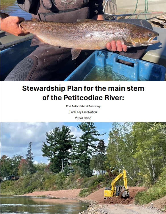
The “main stem of the Petitcodiac” refers to the 22 kilometers of river and associated watershed between the confluence of the Anagance River and the North River at the Village of Petitcodiac where the Petitcodiac River is said to “begin”, and the head of tide in the Village of Salisbury, where the freshwater portion of the river ends and the Petitcodiac estuary starts.

The Little River flows for its entirety in Albert County before emptying into the Petitcodiac River which marks the boundary with Westmorland County. The Little River is, despite its name, the second largest tributary in the Petitcodiac watershed (after the Pollett River).
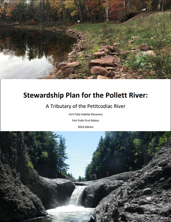
The Pollett River flows from Albert County into Westmorland County. It is the largest tributary in the Petitcodiac River watershed, with a basin that covers 314 square kilometers. Its headwaters surround Mechanic Lake near Fundy National Park. From there, the 57 kilometer long river passes through Elgin and on to its mouth along the Petitcodiac, near Salisbury a short distance above the head of tide.
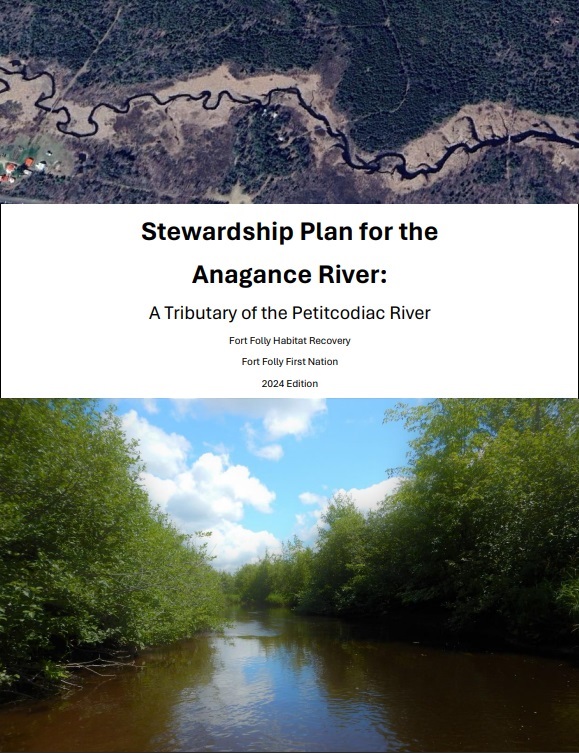
The Anagance River flows 28.4 kilometers from its headwaters in the eastern end of Kings County down to its confluence with the North River in western Westmorland County (at the Village of Petitcodiac). The point where the two meet marks the beginning of the main stem of the Petitcodiac River . The Anagance watershed is the 4th largest tributary of the Petitcodiac.
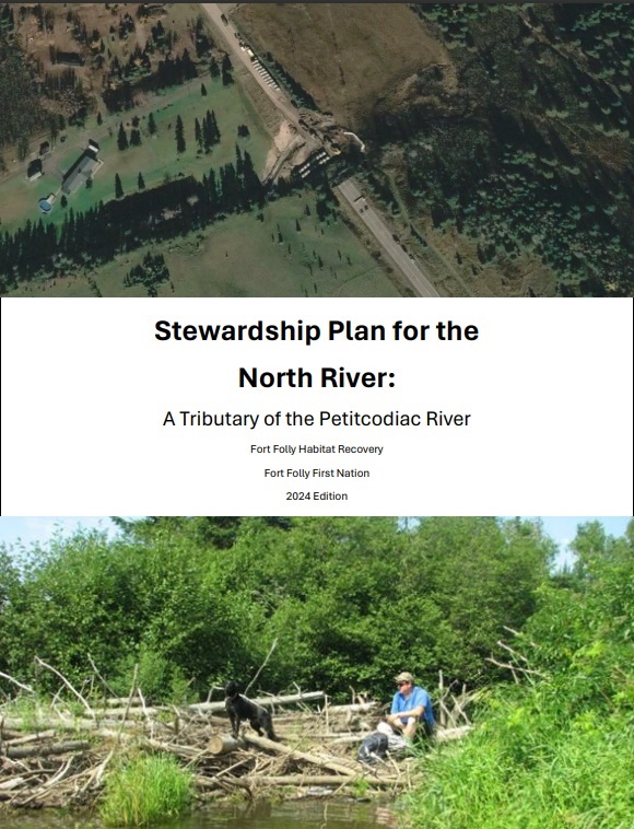
The North River flows entirely within Westmorland County, New Brunswick. Its headwaters begin north of Moncton near the bases of Lutes Mountain and Indian Mountain, from which it drains from northeast to southwest, ending where it and the Anagance River come together, near the Village of Petitcodiac, to form the main stem of the Petitcodiac River. The North River watershed is the third largest tributary within the Petitcodiac River system.
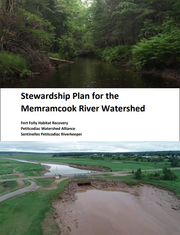
The Memramcook River flows for 56 km in Westmorland County before emptying into Shepody Bay immediately adjacent to the mouth of the Petitcodiac River at Fort Folly Point. It is dwarfed by that neighbor, draining a basin of 390 square kilometers, comparable in size to individual Petitcodiac tributaries such as the Little River, or the Pollett River.


